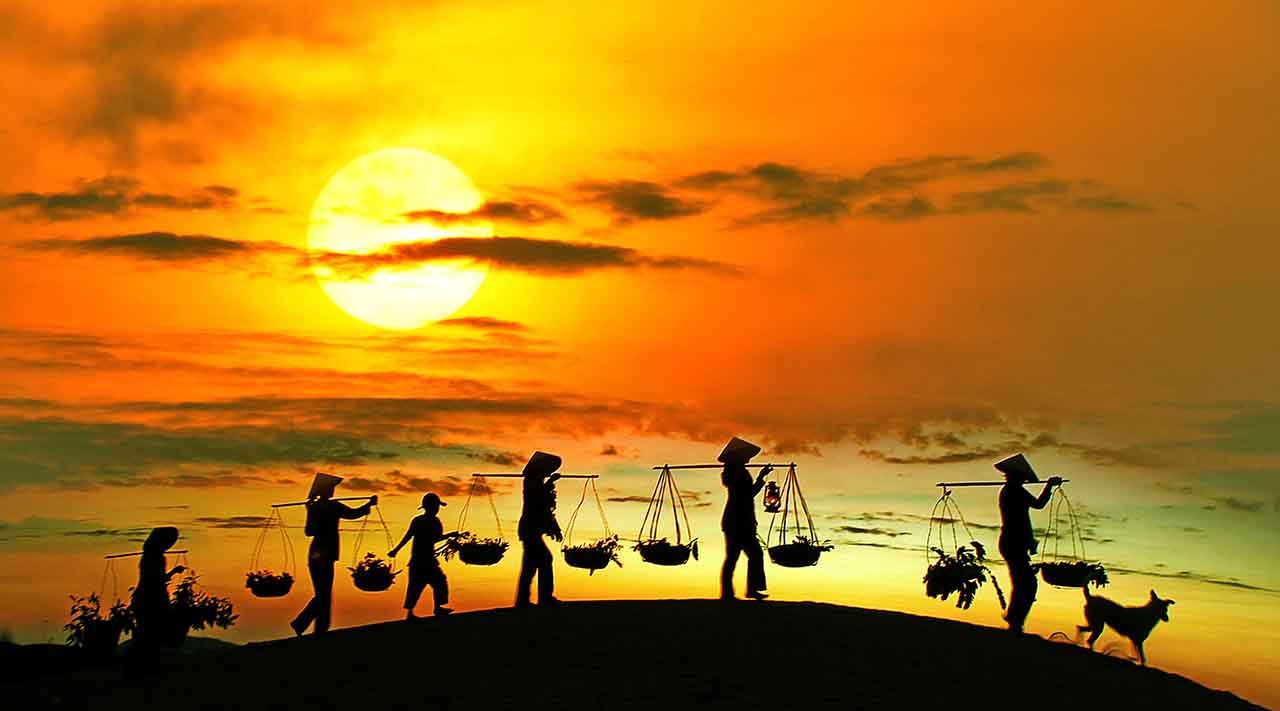
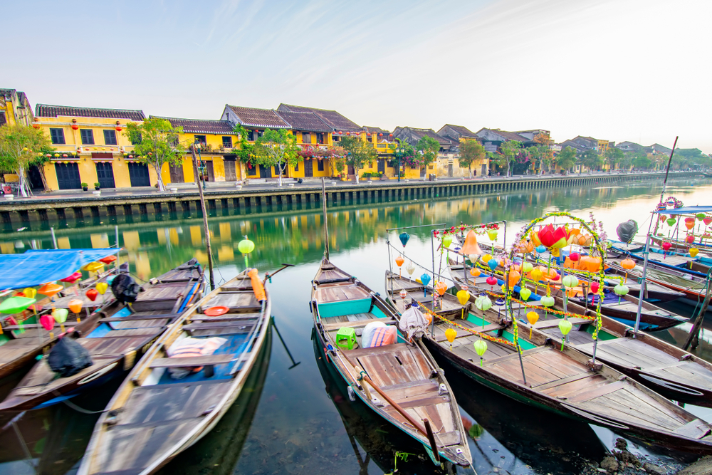
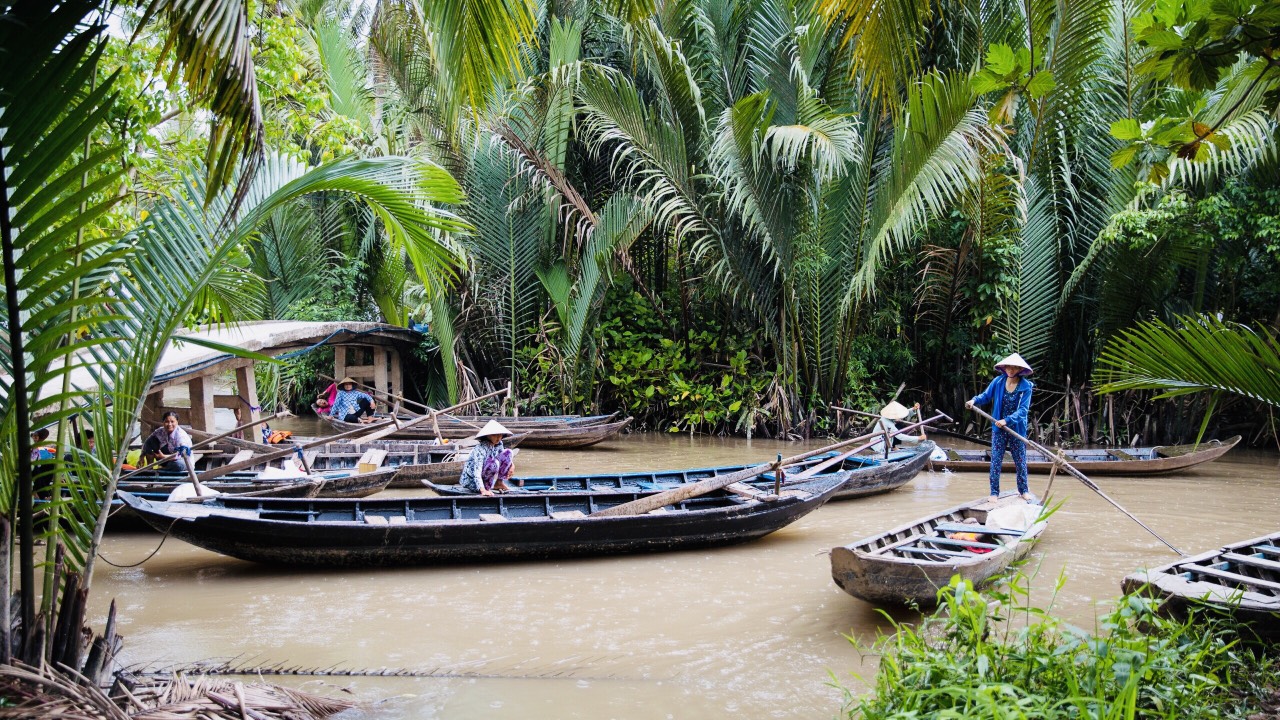
Ha Giang
We arrive here in the largest city of the province and yet, everything is calm, serene, we are far from the frenetic agitation of Hanoi.
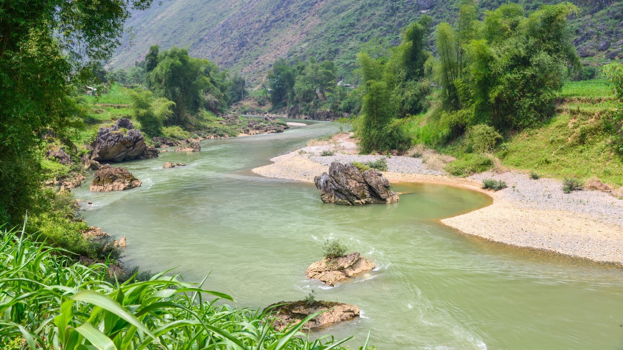
On the main square in the heart of the city along the Claire River, do not miss to make a stop on the square of March 26.
On March 26, 1961, Uncle Ho (President Ho Chi Minh) addressed more than 16,000 officials, employees and residents of Ha Giang province. He praised and honored the contributions of Ha Giang to the construction of socialism in Vietnam.
Since then, this place is considered as a historical place of Ha Giang province.
On September 2, 2005, the monument “Uncle Ho and the people of Ha Giang Province” was solemnly inaugurated in the March 26 square.
On the other side of the square, while crossing the street, a garden runs along the Sông Lô River (Clear River).
There are some statues here representing the signs of the lunar calendar…horse, rooster, etc. If you follow the garden to the next crossroads, leaving the square behind, you will arrive at the bridge and on the opposite side of the road, a museum. It is dedicated to the region:
Natural conditions and inhabitants of Ha Giang – geology and some costumes of the 14 local ethnic groups.
Prehistory and ancient history of Ha Giang – collection of stone tools dating from 30,000 to 4,000 years ago – model of life of primitive peoples in caves – superb collection of bronze drums (12 pieces) – collection of ceramics and historical documents.
Ha Giang in the period against foreign invaders – Ha Giang in 2 wars of resistance (against France and America) – Photos of the opening of the Hanh Phuc road (Hiang-Dong Van village), 1959-1965.
Achievements in national construction and defense of the army and people of Ha Giang from 1975 to nowadays.
The Gateway to Heaven
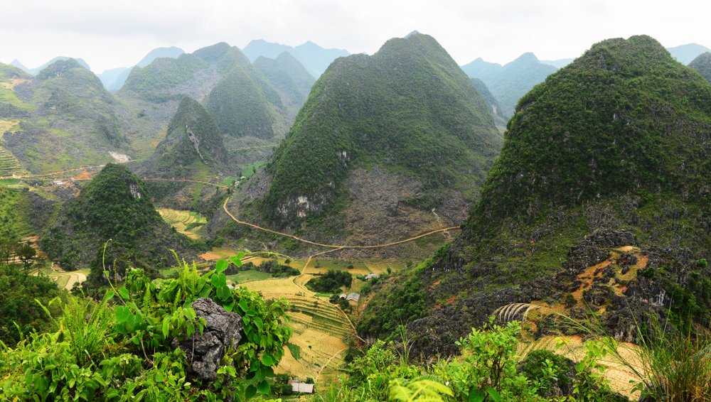
At 1500m altitude, 45 km from Ha Giang, before Tam Son – Quan Ba.
It is the beginning of the fabulous road to happiness, the gateway to the highlands of Dong Van.
In 1939, a stone wall and a wooden door were built to mark the passage.
This place is considered the boundary of heaven and earth, standing at the top of the mountain you can see the whole panorama of mountains and forests of the northwest.
Quan Ba
It is here that the twin mountains are located, a beautiful curiosity:
Legend has it that once upon a time, in this country, there was a handsome H’mong man who had the talent to play the flute. His music sounded like the sound of a stream, the sound of a bird, a deep forest…
There was a fairy in the sky called beautiful flower. One day, she heard the sound of the Hmong flute and followed the wind to escape from paradise and seek the player. She fell in love with the Hmong man and decided to stay on this earth with the man who became her husband. Years later, they have a beautiful son.
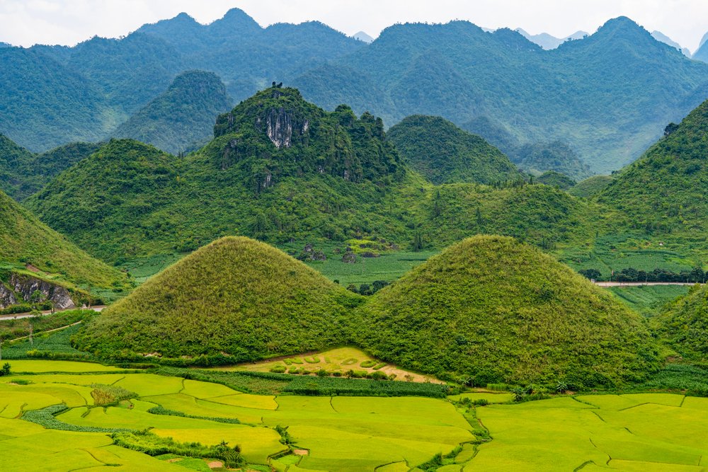
The jade emperor discovered that she had escaped into the world. In anger he ordered his servant to descend to earth and bring the beautiful princess back to heaven. But her child is still very small, only her husband could not feed the child. She prayed, begged to stay in the world below, but no one gave in, so she decided to leave her breasts on the world.
When the child was grown the chest turned into two mountains in the shape of breasts.
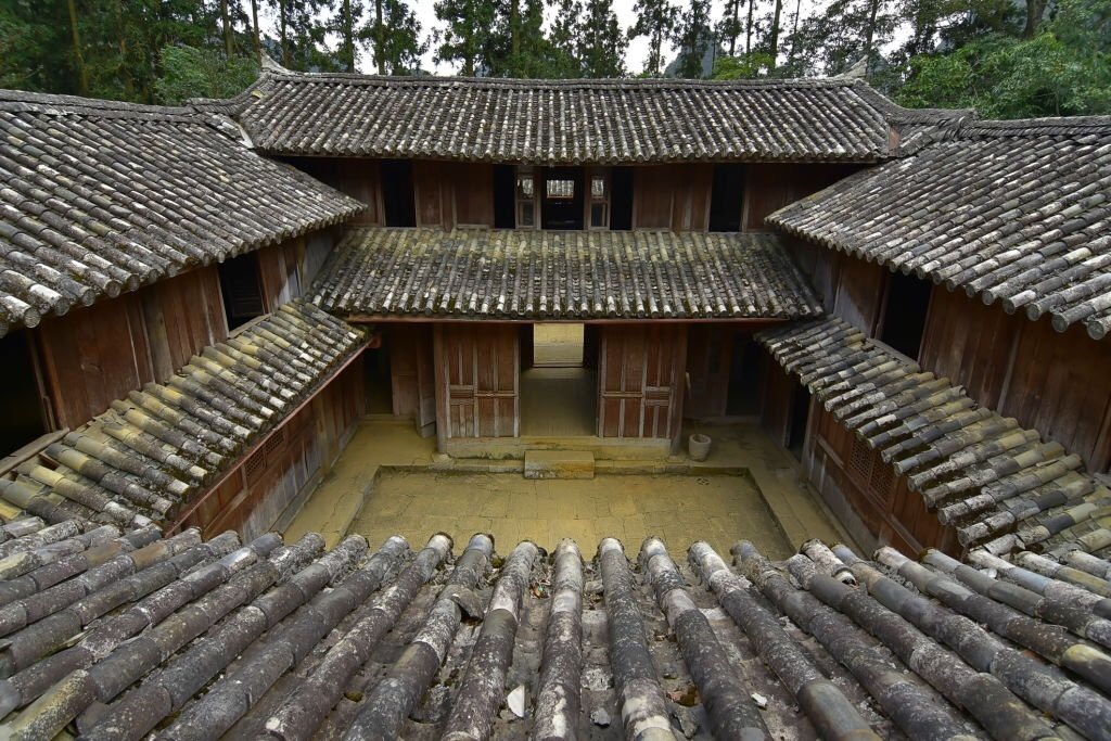
Sa Phin, its market and its palace of the Hmong kings
Vuong Chinh Duc took part in the local resistance of the Hmong against the Chinese invaders. Then, he was proclaimed king of the Mèo (Hmong).
In 1898, Vuong Chinh Duc had his palace built which was completed in 1903 and cost 15,000 piasters.
The palace was built in the bastille style, surrounded by a stone wall 2m high and 60-70cm thick. Its design reflects a mixture of ancient Chinese and Western architecture.
Chinese geomaticians decided on the site of Sa Phin for the construction of this castle. The chosen plot of land had an auspicious shape, that of a turtle shell.
In the front, the two mountains in the shape of a plateau let us imagine a prosperous life.
At the back, the arched mountain range seemed to cover and protect the site.
It was a sign that the descendants of the Vuong family would become rich if they lived there!
In this palace, on the outside there are thick carved walls, stones and precious woods inside and a roof covered with yin-yang tiles arranged harmoniously. And everywhere, whether on stone or wood, carvings of dragons, phoenixes, bats…symbolizing the prosperity and longevity of a high ranking family.
The construction took eight years with a good number of talented craftsmen, some from China and many local workers.
Sa Phin market:
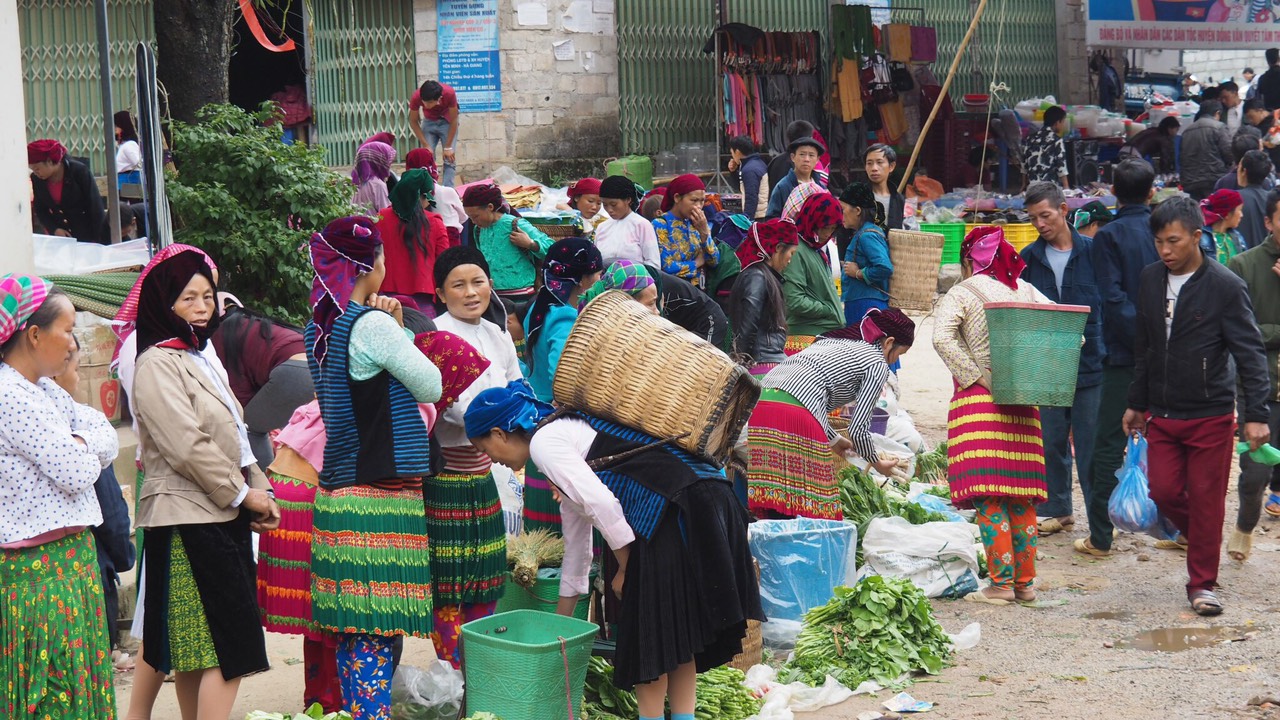
It is held in front of the Hmong palace and in the adjacent streets. Sa Phin is one of the four markets on the rocky plateau that takes place every 6 days. The market starts early in the morning until about 3:00-4:00 pm, many ethnic groups come here to offer their products, shop and meet others. It is considered as a unique love market, a privileged meeting place for future unions.
Dong Van
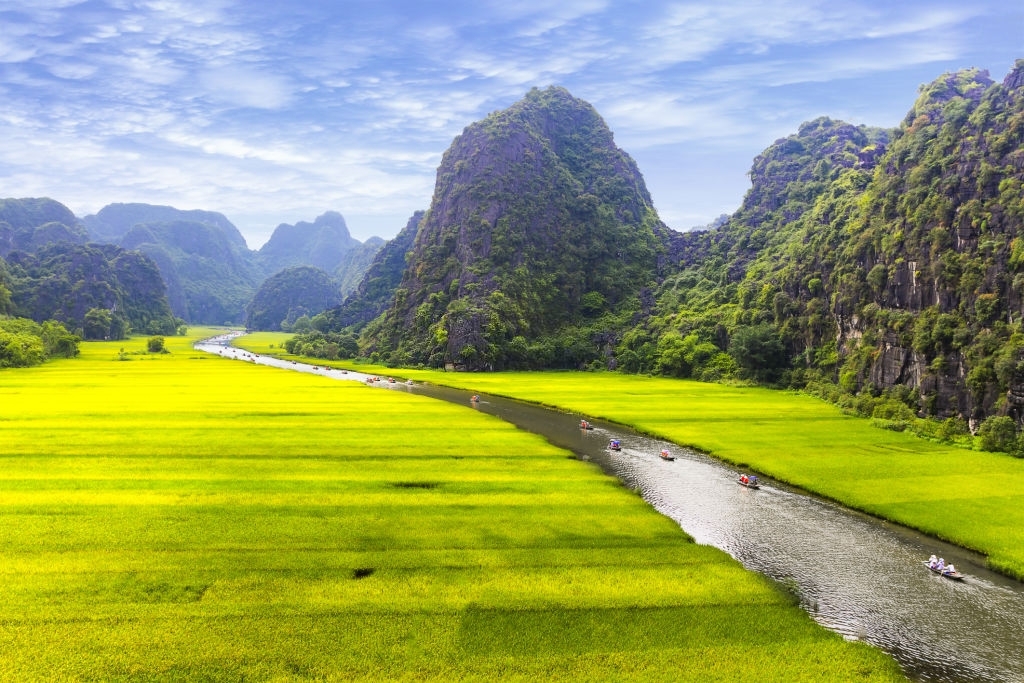
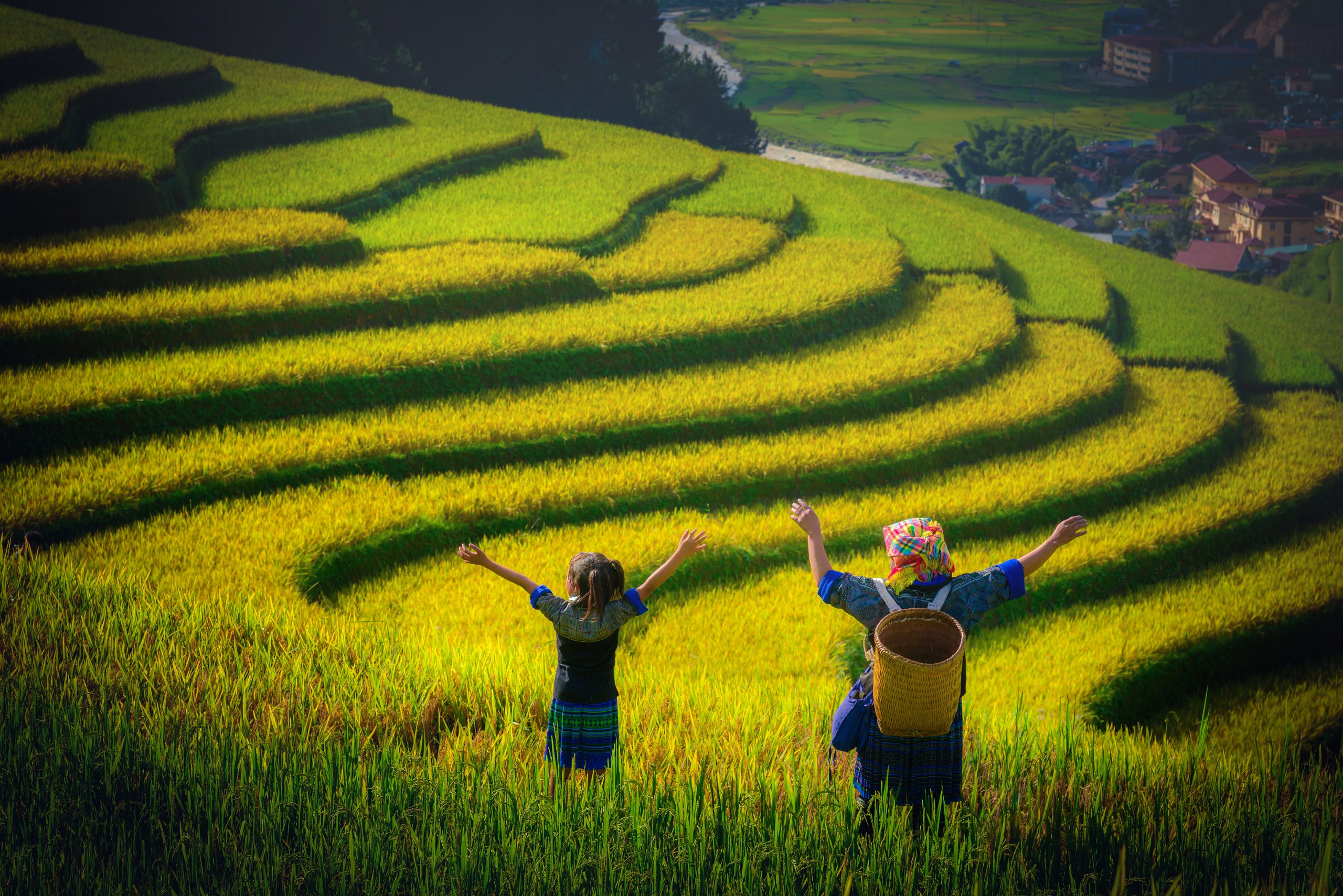
We arrived in the heart of the karst plateau in the pretty little town of Dong Van, it has managed to preserve its character with its old preserved district, despite a nascent modernism. Nestled in the heart of a valley surrounded by karst peaks, with some rice fields around, we breathe a beautiful atmosphere.
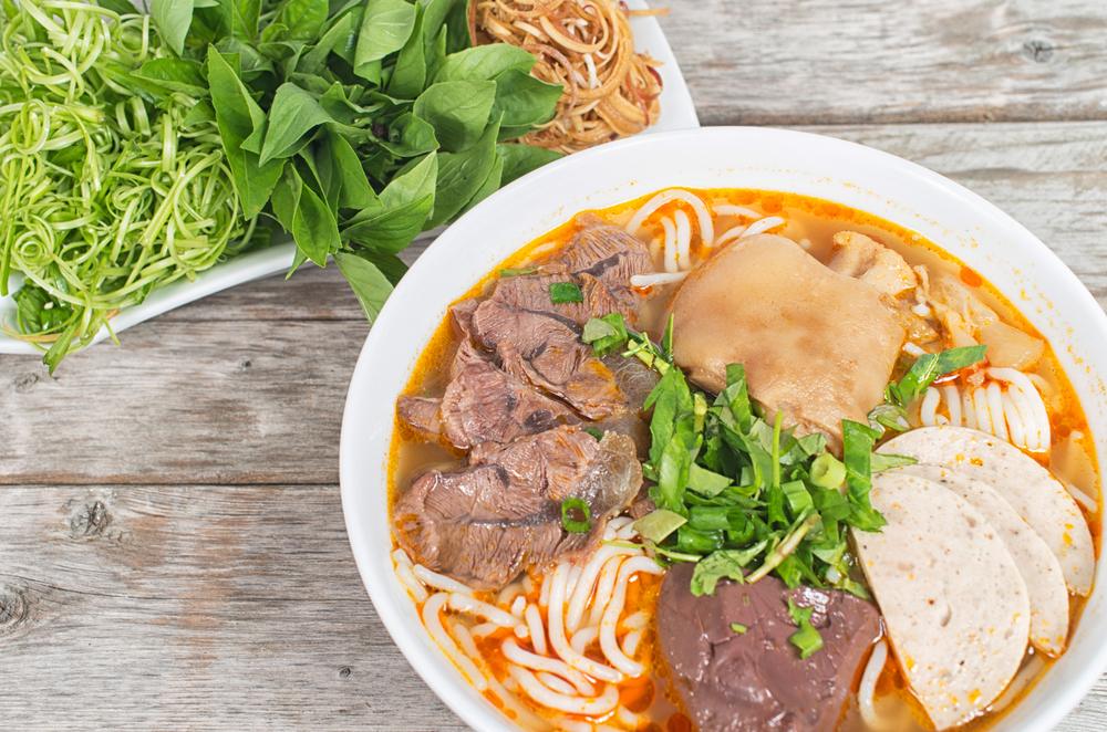
Dong Van, it is simple, we arrive there by a broad street lined with businesses of all kinds, local restaurants where we will eat a noodle soup sitting on small stools, small hotels, with, in parallel and in background the big market (weekly and Sunday).
Continuing our way, at the crossroads, on the left, the old market became today the place of sale and presentation of ethnic products.
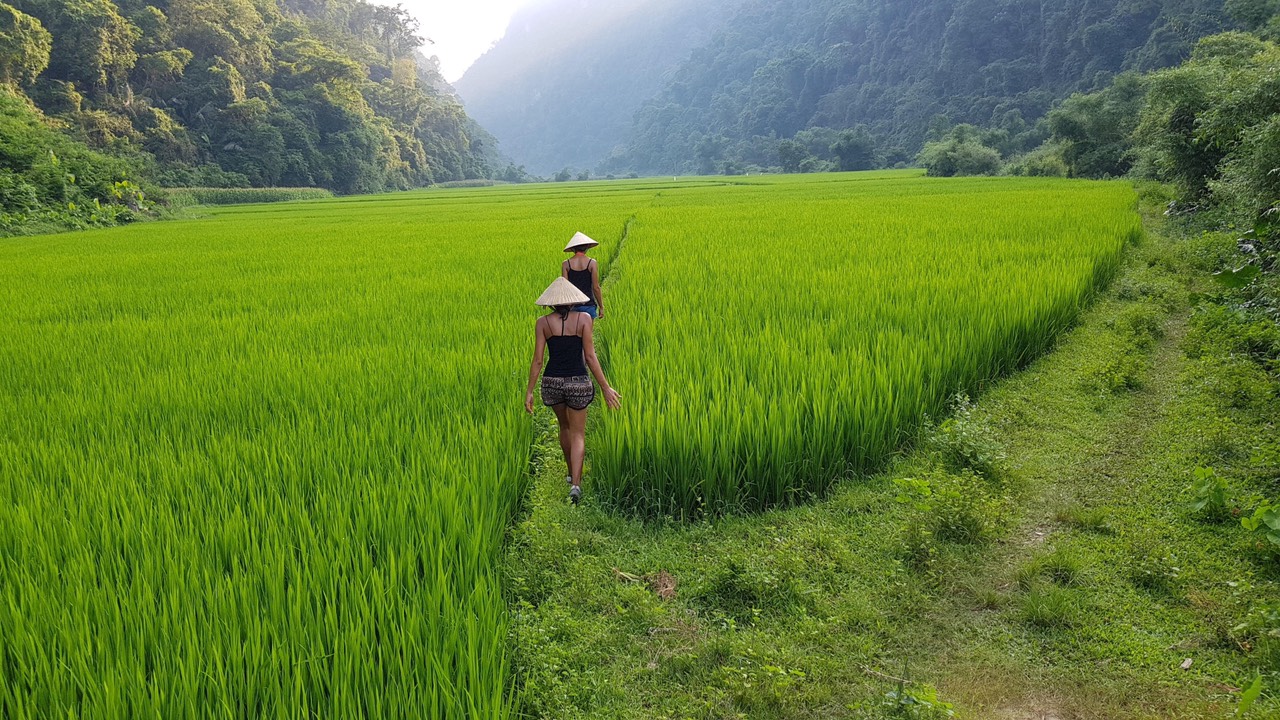
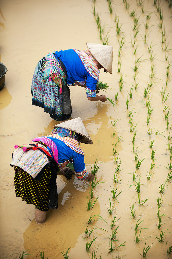
As you walk through this ethnic market and continue your walk you finally arrive at the old Dong Van, preserved, authentic and so pretty. If you go further, your walk will lead you to the rice fields. There you will have the chance to see the people working their land or fishing for eels.
On the heights at the exit of the city you can see, perched on a hill, an old French fort (built in 1890 and evacuated in 1945), the climb is hard but the view from there is breathtaking!
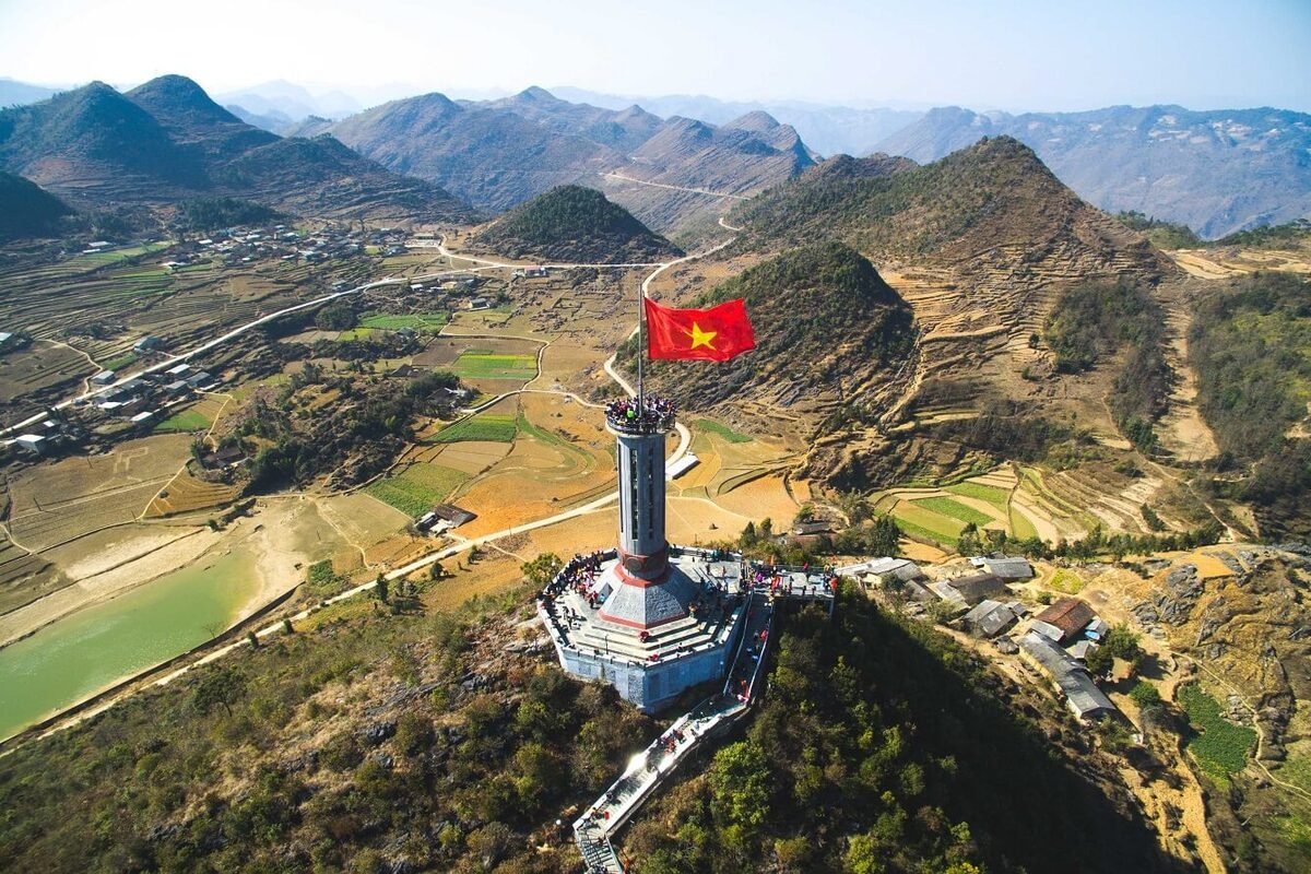
Lung Cu
Lung Cu is at the Chinese border, right north of Dong Van. The site of the flag bearer is the most famous of Vietnam and probably the most visited. It must be said that beyond the symbolism the place is beautiful, you have a 360° view from the top and on China too.
To get to the monument you have to climb the hill that bears this beautiful set, sacred symbol of national sovereignty, by a well laid out path.
The flag measures 54m2 and at its base are engraved the figures of the 54 ethnic groups that populate Vietnam.
This border marking has existed since the Ly dynasty in the 11th century, it was Lieutenant Ly Thuong Kiet who placed the national flag on the summit of Dragon Mountain.
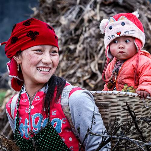
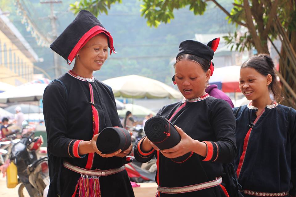
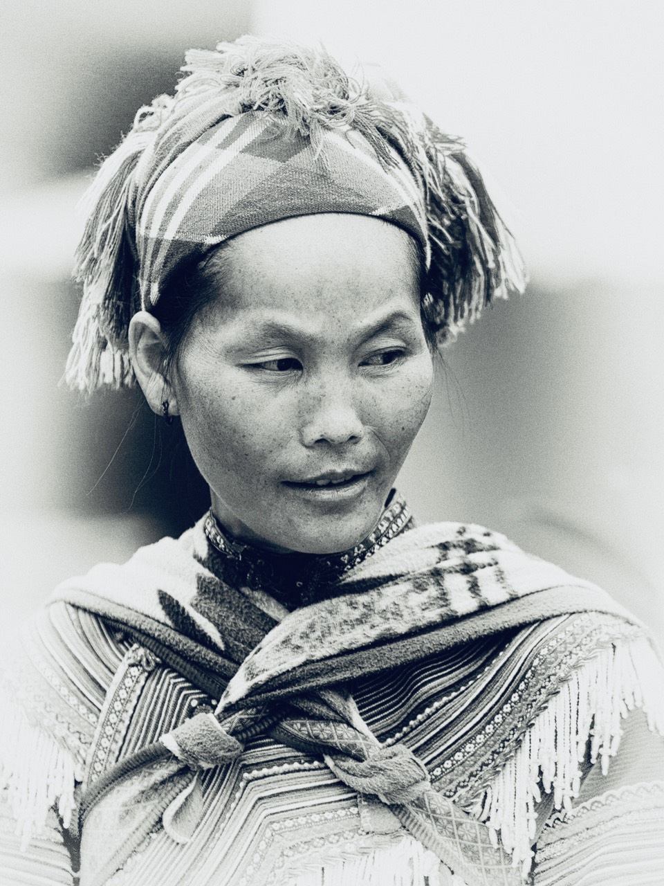
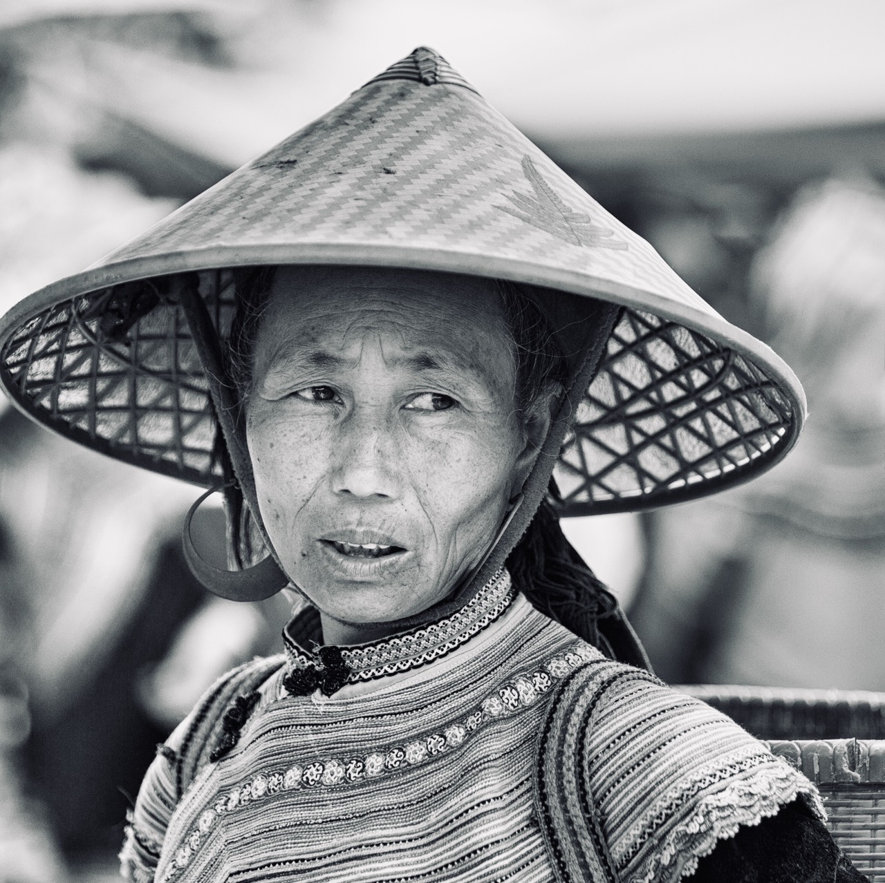
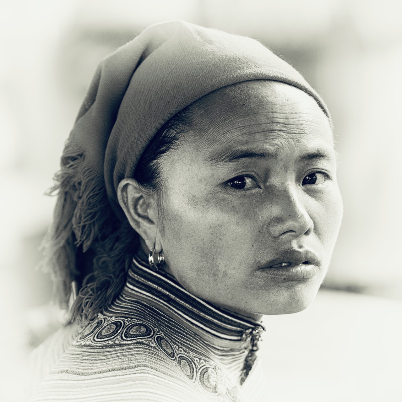
Lung Cu is also the country of the Lo Lo Hoa ethnic group (Lo Lo colored), the costumes of this ethnic group are amazing, colorful and complex, it takes no less than two to three years to make.
You can meet them at the beautiful village of Lo Lo Chai, 2 kilometers from Lung Cu.
The Lolo people of Lo Lo Chai village own two ancient drums, one female and one male, thousands of years old (DongSon Bronze Age), giant and distinctive bronze ceremonial drums richly decorated with ritual scenes and depictions of warriors. They are kept by two families of village notables.
In this land of stones and aridity, the legend says:
In the past, in this region, life was very hard because of the lack of water. The legend says that a sacred dragon landed on the top of Lung Cu and that when he left the earth before going back to the sky, he left his eyes to the villagers out of kindness, which turned into two semi-circular lakes. The first belongs to the Hmong and the second to the Lolo.
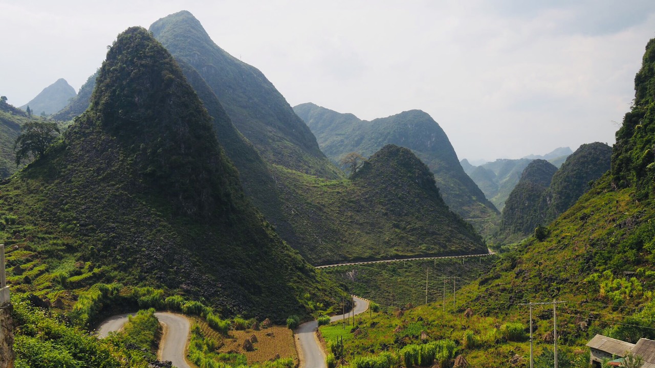
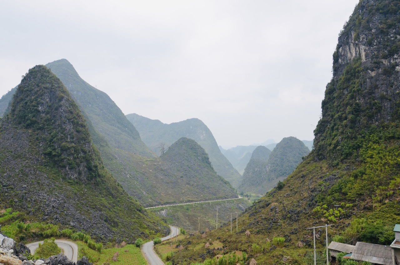
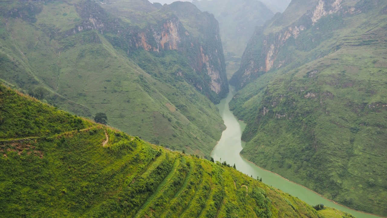
The road to the Ma Pi Leng pass
From Dong Van direction Meo Vac by the famous pass of Ma Pi Leng (pass of the nose of the horse).
For 20 km, on the side of the mountain, this road, the most emblematic of Vietnam, the road of happiness, will offer you, if the clouds do not interfere, a breathtaking view of the Tu San canyon and the Nho Qué river at 800 m below.

Photo stops are necessary at almost every turn!
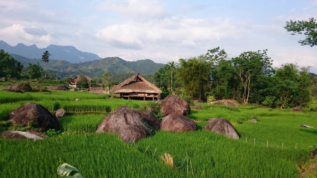
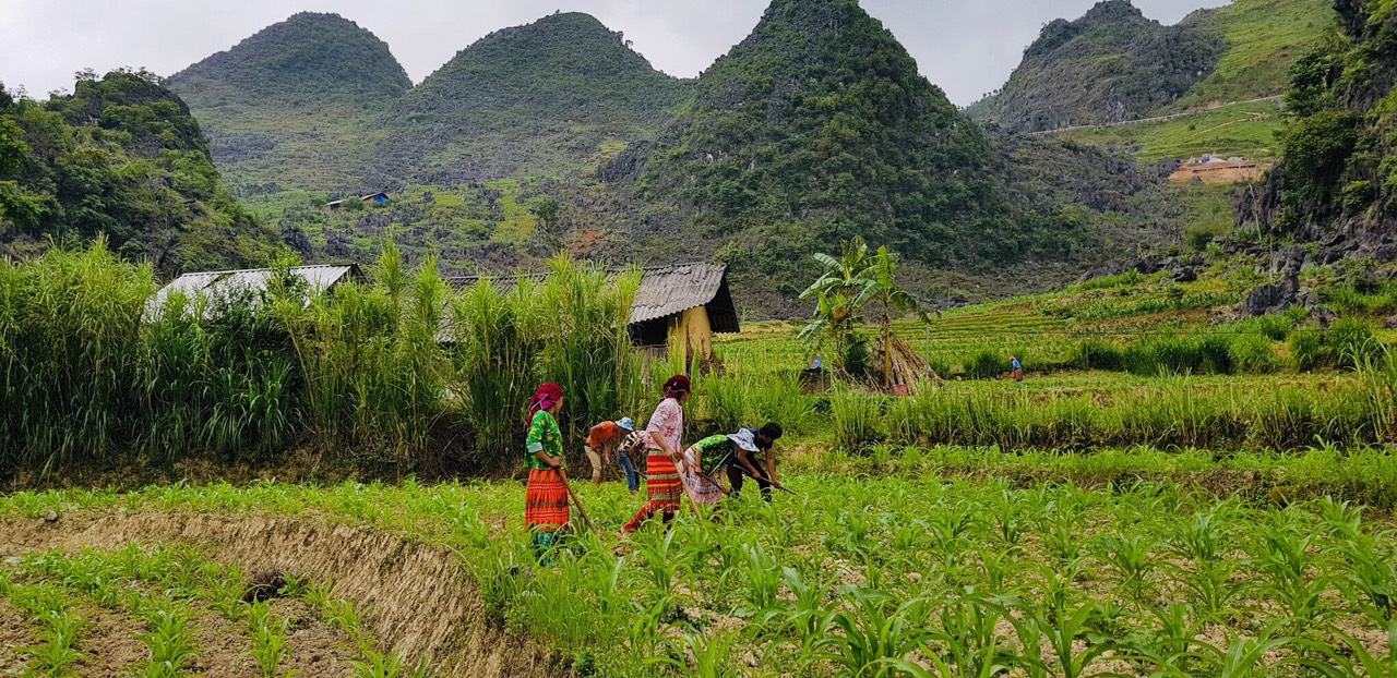
From the bottom to the top of the peaks, the Hmong, hard workers, have cleared the land and planted corn, hemp, buckwheat and sometimes rice in the valley bottom. Here life is hard, the cold is bitter in winter, water is scarce, the people who live here are poor, deprived of everything or almost.
They live, above the clouds, above the world, in small houses of stone and wood clinging to the slopes of the mountains or in the hollow of small valleys.
Meo Vac
Is nicknamed “The eagle’s nest of the White Hmong”, they are mostly present there.
This is where we slowly leave the high mountains with deep canyons to slide towards valleys a little wider.
The crops and livestock are a little more important from here, we cultivate corn of course but also rape, fruit trees (plum trees, peach trees), buckwheat in the fall. Recently the emphasis has been put on cattle breeding and the production of mint honey.
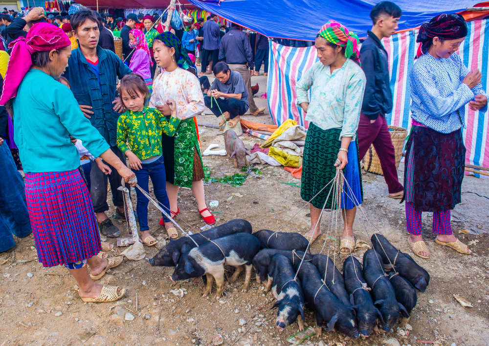
Its Sunday market with its beef market is the largest animal market in this province. To go there, the Hmong, the Dao, put on their best clothes. They come to trade vegetables, fruits, meats, medicinal plants, dyed fabrics…and negotiate future marriages. Consanguineous marriages are forbidden among ethnic groups, so the market is the ideal place for meetings between distant villages and groups that are not of the same lineage.
You might also like: