
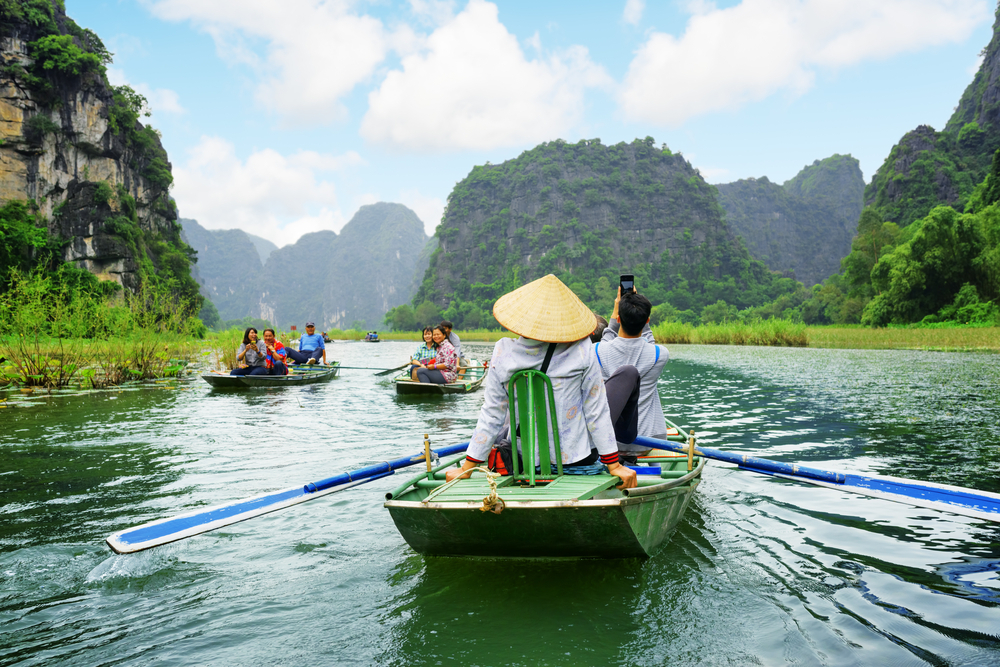
The Central Highlands of Vietnam
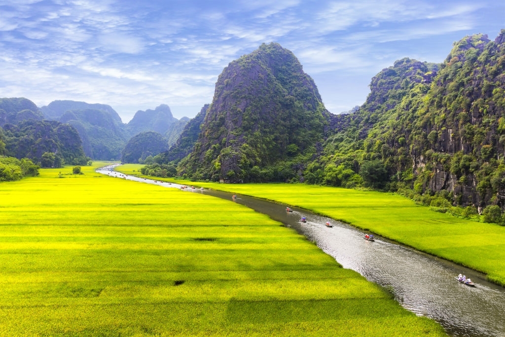
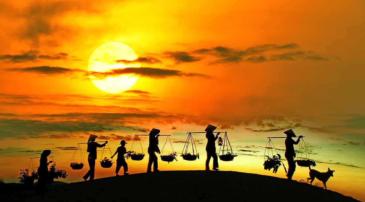
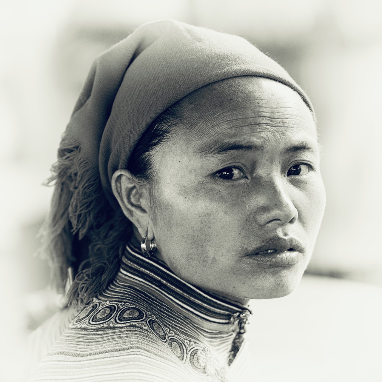
The Tây Nguyên (Highlands) is a vast mountainous region with basaltic soil where the roads are covered with red dust.
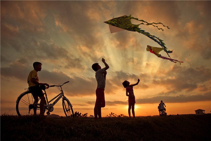
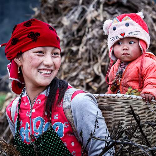
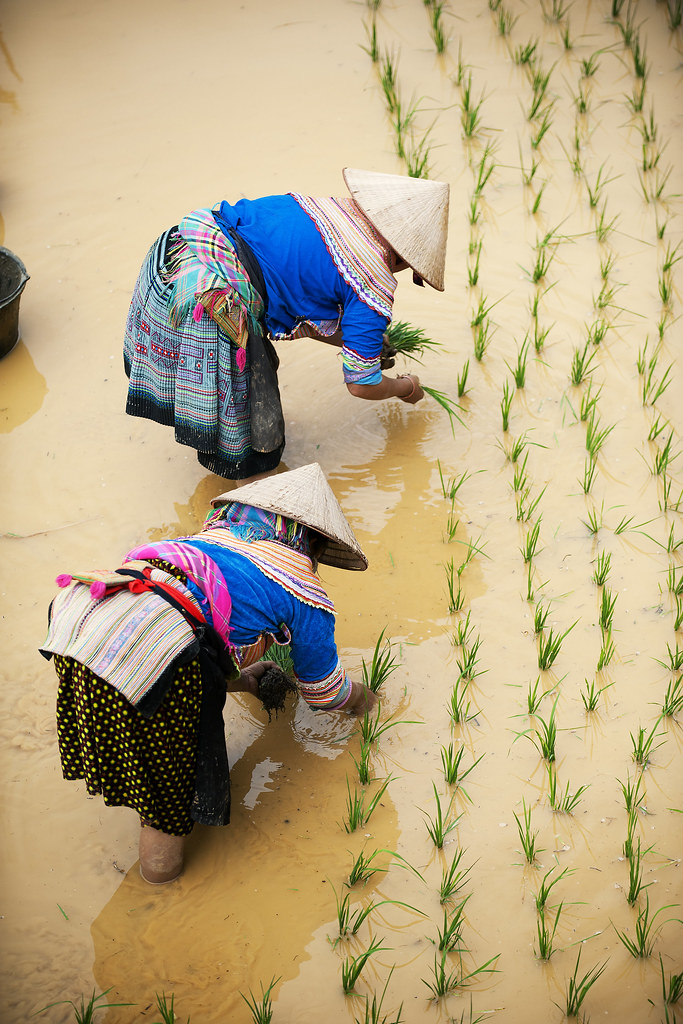
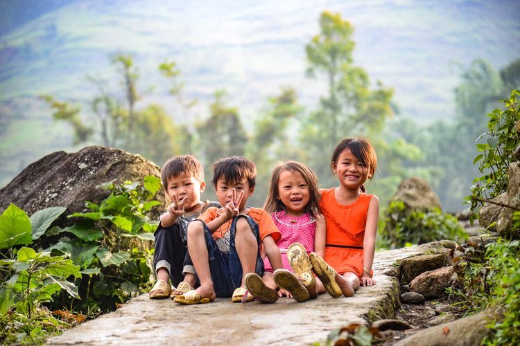
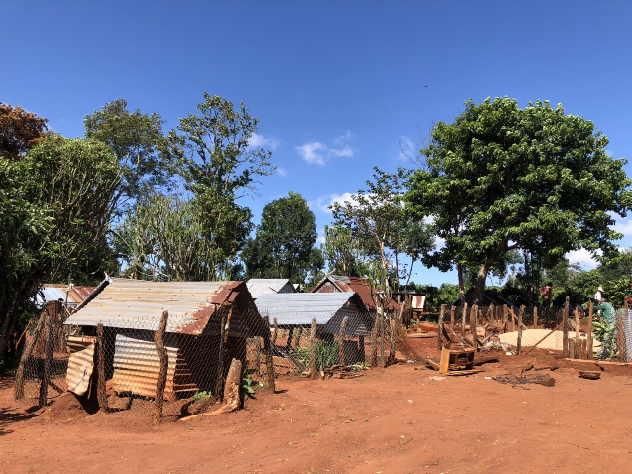
Here and there appear groups of children babbling on their way to school, women carrying a baby or a hood on their backs going to the field…
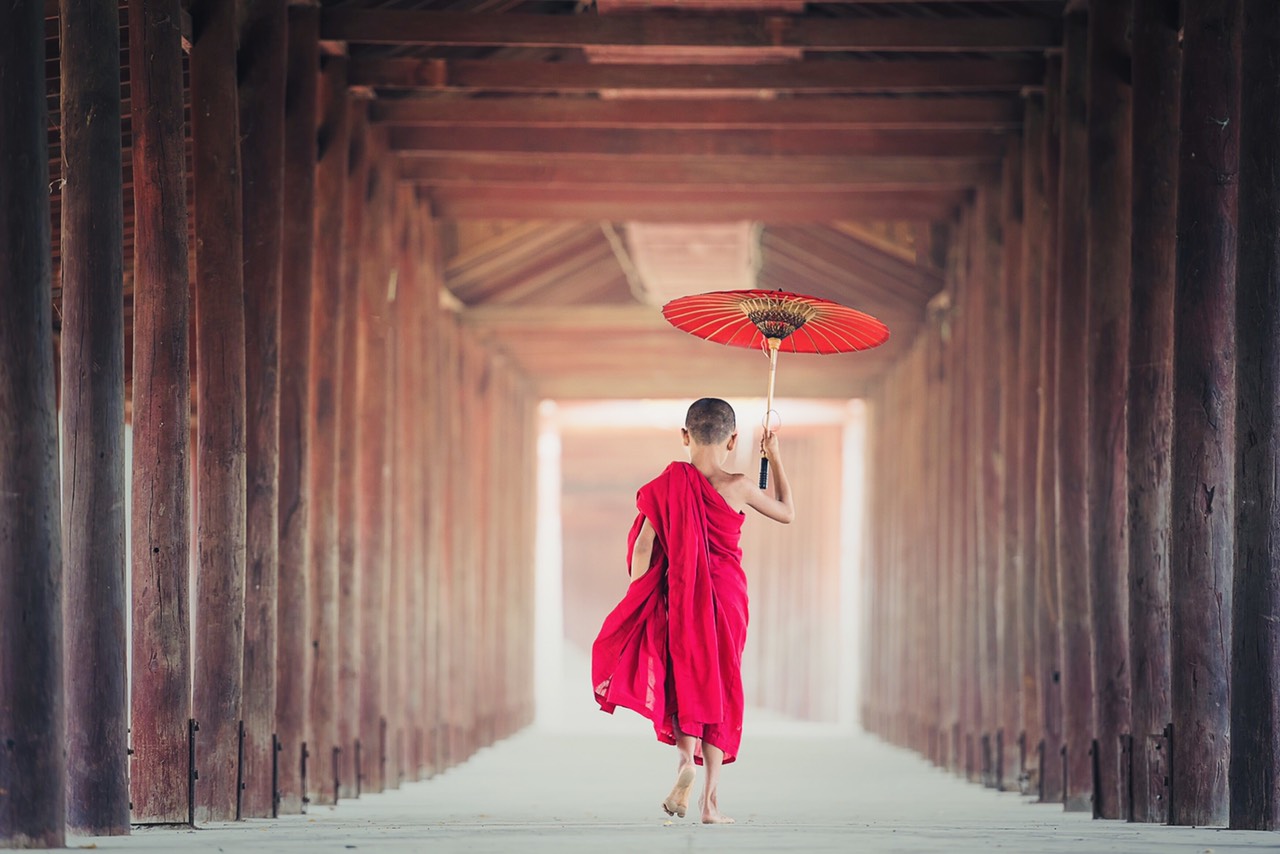
The people here go barefoot and bareheaded, in a candid way, indifferent to the rhythm of modern life that prevails there, in the plain.
Five provinces make up the central highlands:
From south to north, Lam Dong – Dak Nong – Dak Lak – Gia Lai – Kon Tum, each with its own appeal, its own specificities.
Lam Dong
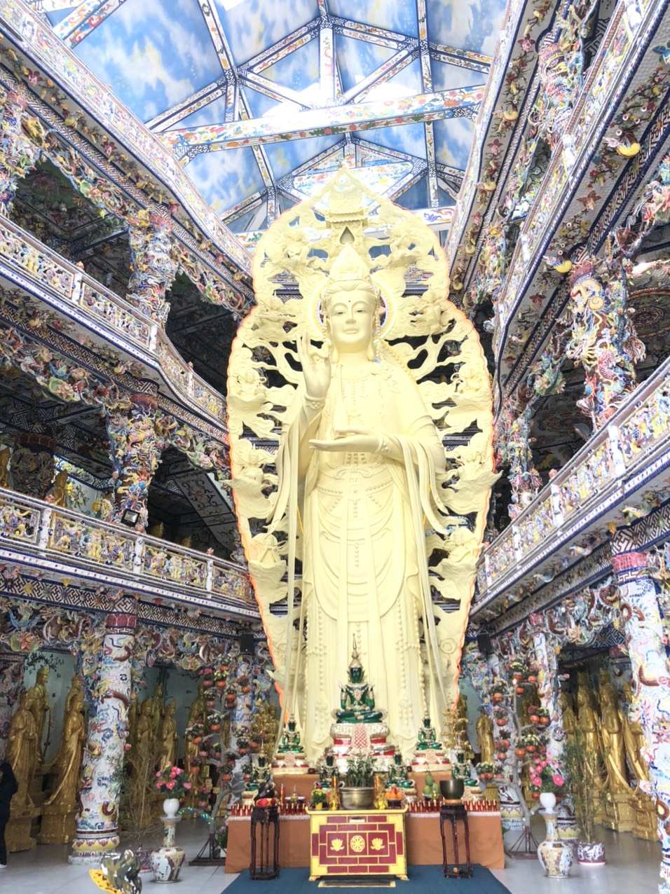
Da Lat
The city of eternal spring, a climatic resort in the time of the French, a place of vacation with a temperate climate was discovered by the famous doctor Yersin at the end of the 19th century.
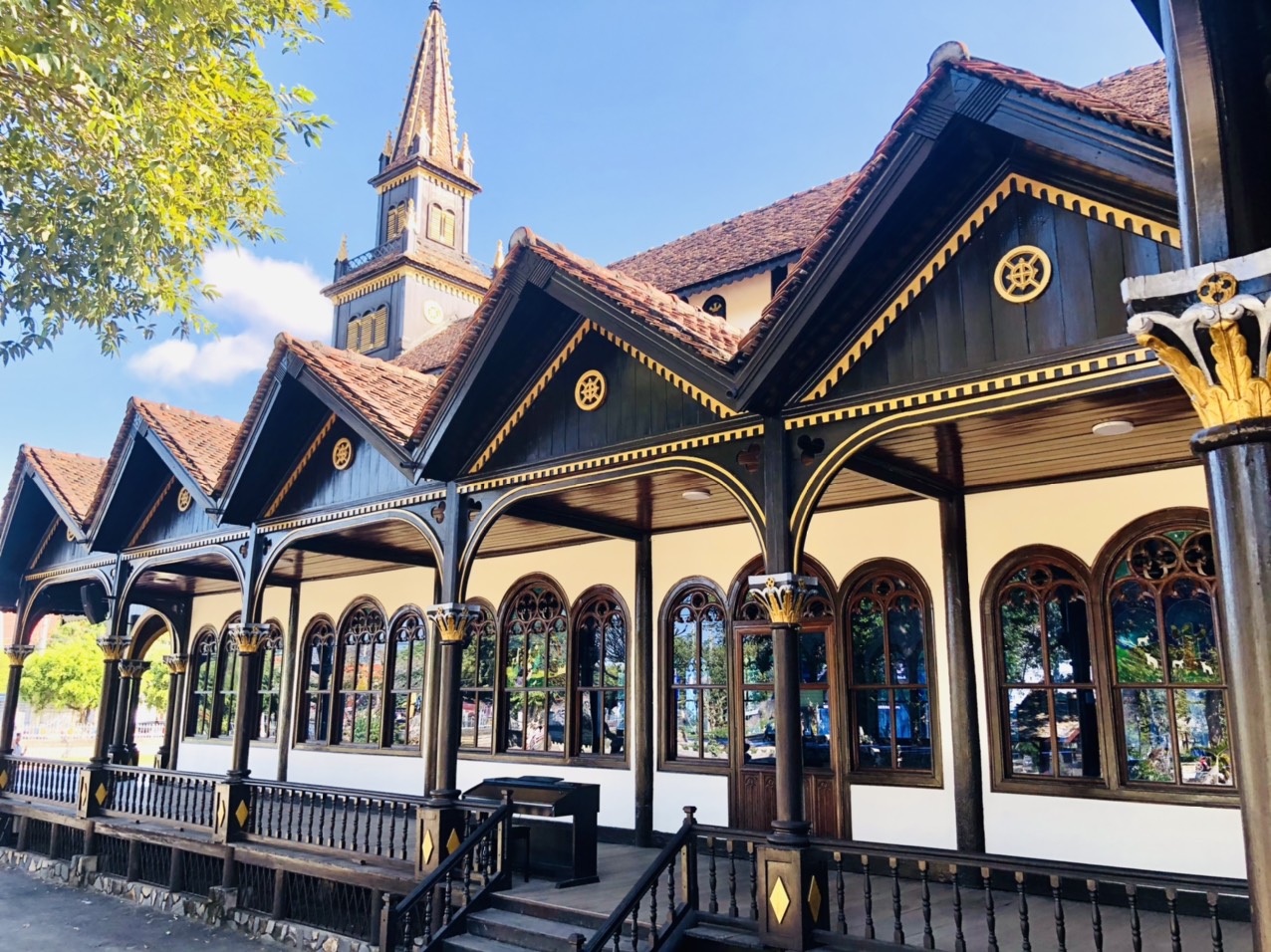
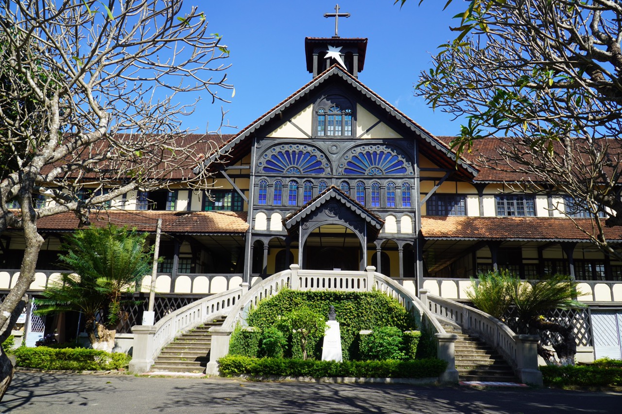
You will see many villas, the former Yersin High School, the Birds Convent, the cathedral with stained glass windows made in France, the Pasteur Institute or the central post office.
The Da Lat train station, located at an altitude of more than 1500 meters, is one of the oldest stations in the country. It is a combination of western architecture and the architecture of the communal houses of the highlands.
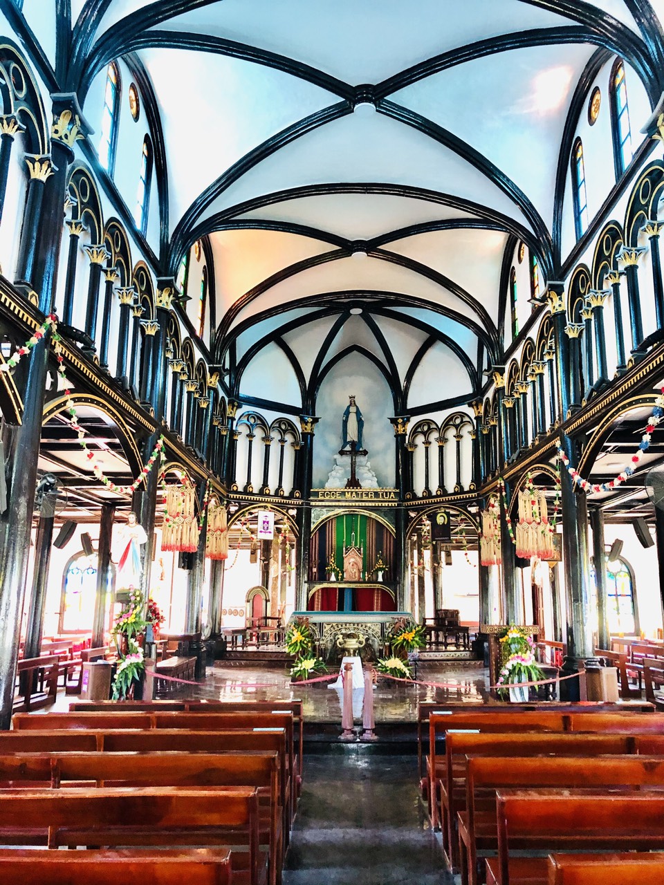
The Saint-Nicolas cathedral of Dalat, called “the Church of the Rooster”, because of the copper rooster perched at its top, is an emblematic monument of the city, built between 1931 and 1942 by the French as a parish church, it is of neo-Romanesque style.
The church of Domaine de Marie is designed and built according to the European architecture of the 17th century combined with a traditional Vietnamese architecture. The vestibule is like an isosceles triangle, at the top is a cross, its facade is decorated with a circular rose window and small doors in the shape of spears.
The Bao Dai Palace located at the top of a hill planted with pine trees is the former summer residence of the last emperor of Vietnam. Built from 1933 to 1938 on the plans of French and Vietnamese architects in the modernist style initiated by Gropius and Le Corbusier. The palace houses a lot of souvenirs and objects that belonged to the imperial family.
The Am Phu Night Market, to enjoy street food, bowls of boiled snails, baked potatoes, some crab soup, or a bowl of vermicelli… Street bands perform here some evenings.
Da Lat’s Xuan Huong Lake is a crescent-shaped artificial lake located in the heart of downtown Da Lat.
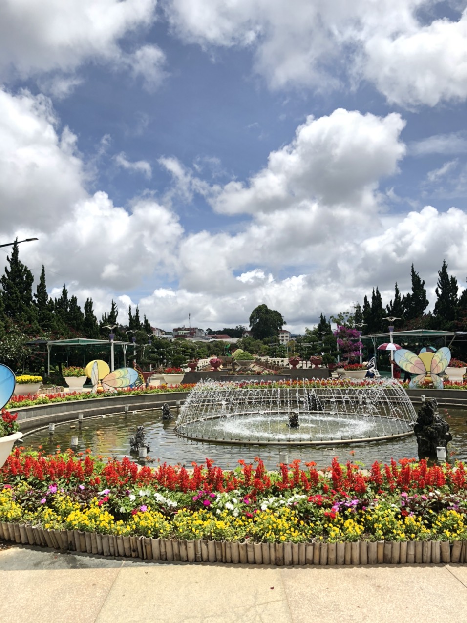
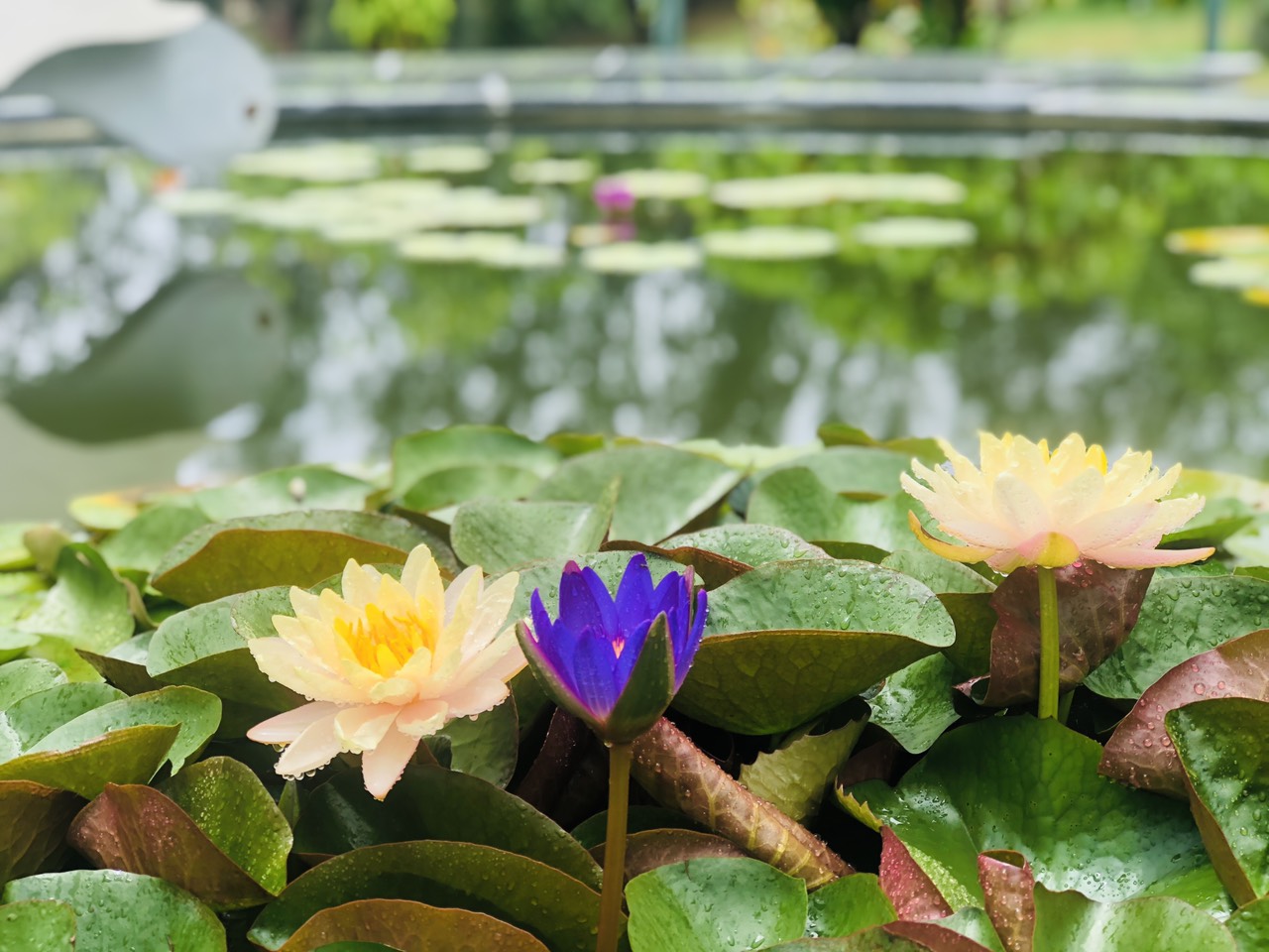
The flower garden is located next to this romantic lake.
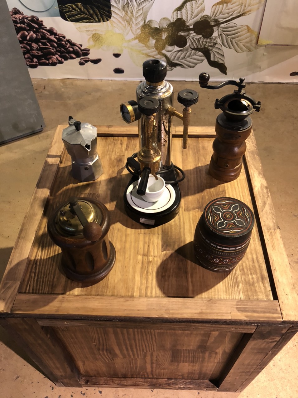
The Da Lat area produces vegetables, many flowers, coffee, tea and even wine.
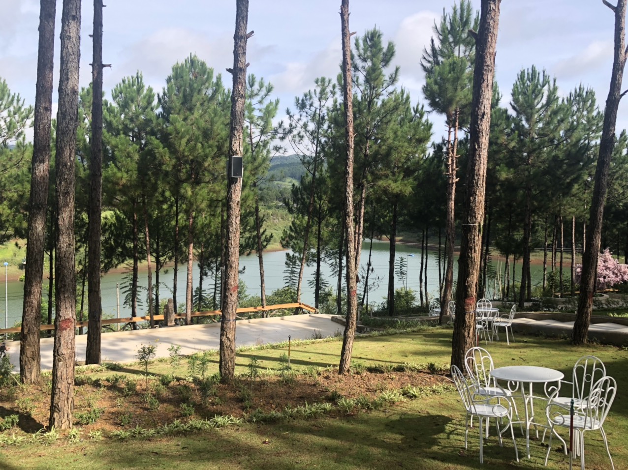
Da Lat and the surrounding area have some breathtaking scenery!
Pongour waterfall is one of the largest waterfalls in Lam Vien Highlands with its 40 meters high, 100 meters wide and 7 stages of water.
From Da Lat, 13km south, a nice one day bike ride through the pine forests, Prenn waterfall is at the foot of Prenn Pass. Here one can notice the subtle change of temperature carried by the veil of water of this 10m high waterfall.
Lake Duong is a mountainous district located in the northeast, considered the roof of Lam Dong province, its altitude is the highest of the central highland provinces.
The plateau of Lang Biang also called Lam Vien, unveil landscapes to make the heart capsize!
The villages of Lat or Cu Lan where the Lach people, a branch of the K’ho ethnic group, live, are part of the “Gong Culture Space” of the Intangible Cultural Heritage of Humanity. The playing of the gong constitutes a privileged language between men, deities and the supernatural world.
Dak Nong
Dak Nong is a central highland province bordering Cambodia, with a mountainous, diverse terrain alternating between plateaus and lowlands. Around Dak Nong is a rich network of rivers and lakes.
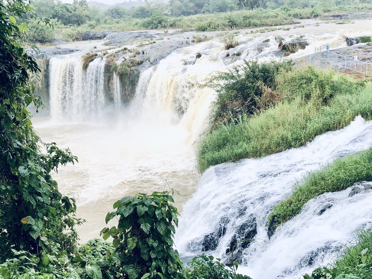
The Gia Long waterfall is at the limit between the provinces of Dak Nông and Dak Lak, it belongs to both regions. Although exploited for tourism, it remains wild, its waters are those of the Sêrêpok river, which takes its source in the highlands of the Center.
Lake Ea Sno, nestled between thousands of trees in the heart of the mountains, in Ea Sno, a quiet place of wild beauty, the sky is reflected in the transparent water.
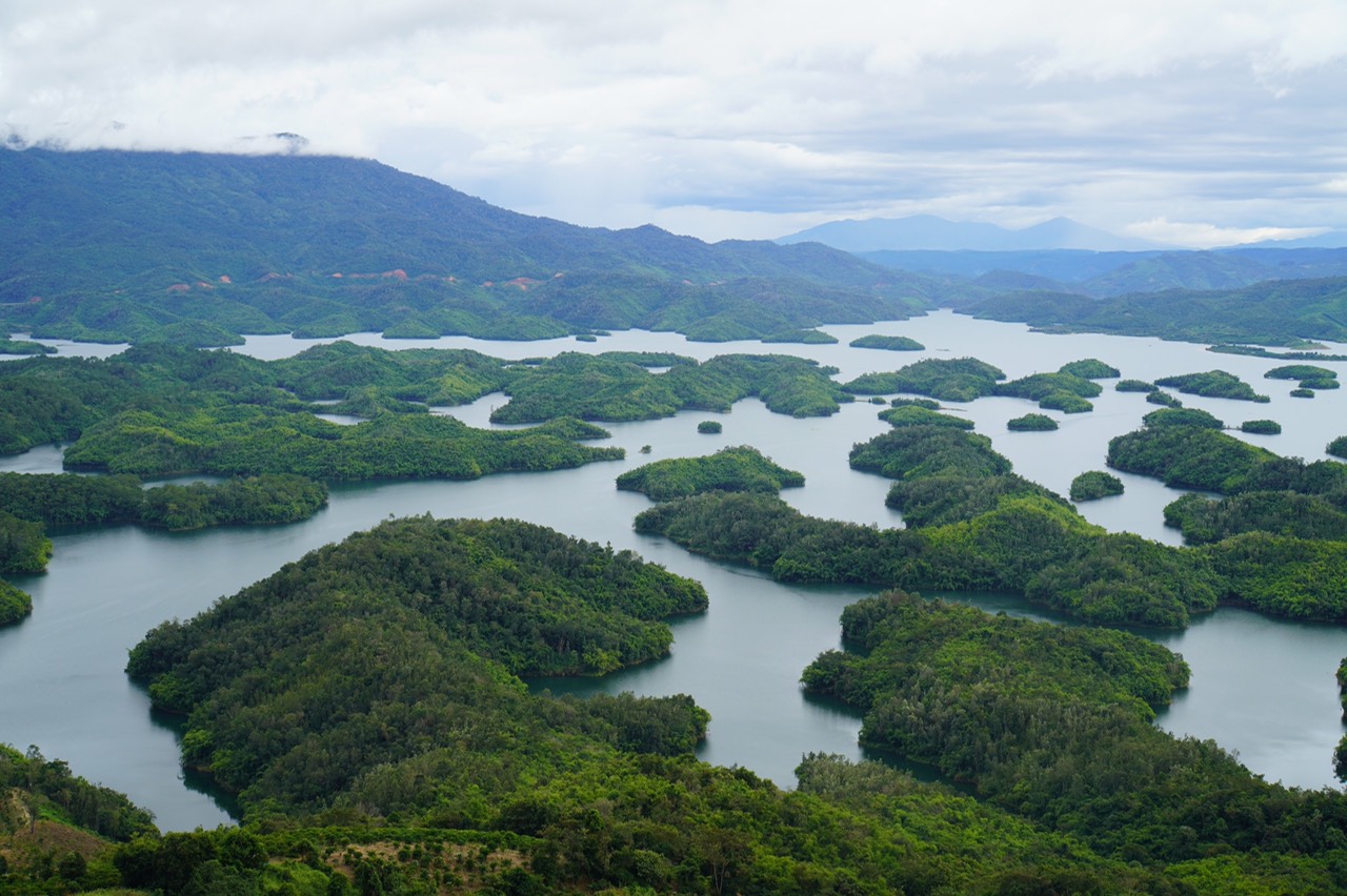
Known as “the Ha Long Bay of the Central Highlands”, Ta Dung belongs to Dak Som commune, about 50 km from Gia Nghia city.
Ta Dung is dotted with beautiful islands, it is a masterpiece completely separated from the world, a gift of nature to the sunny and windy land of the central highlands.
Nam Nung Reserve has 2 major ecosystems, which are natural evergreen forest and mixed bamboo forest, as well as a dense system of waterfalls, rivers and streams.
Nam Nung has 881 species of higher vascular plants, 75 of which are rare and valuable species listed in the Vietnam Red Book and the World Red Book.
The reserve has 58 species of mammals, including 24 species listed in the Red Book that are in danger of extinction such as the black-legged monkey, the civet, the black gibbon, the gaur (buffalo) … bird species including 13 rare.
It is strongly recommended to be accompanied for the visit of this reserve.
Dak Lak
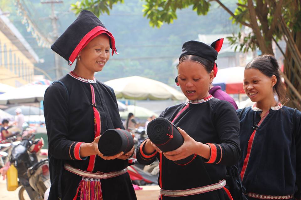
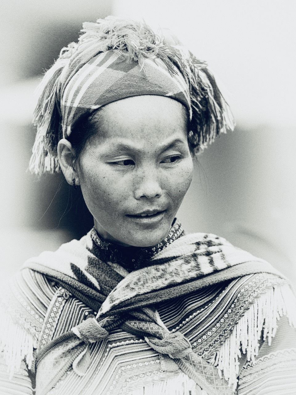
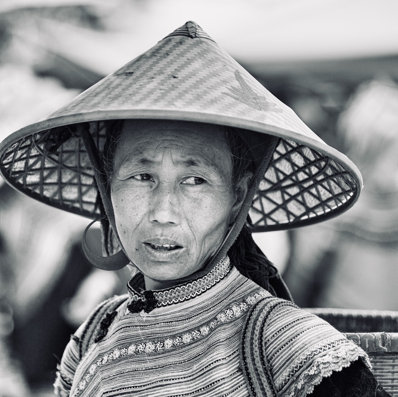
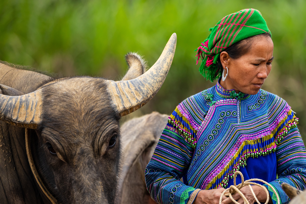
Dak Lak is an ethnically diverse province (Ede, Gia Rai, M’nong, Bahnar…) these ethnicities make this place a destination of choice.
It is also the combination of natural landscapes and floral beauties.
It is the land of coffee, elephant trainers, beautiful waterfalls, and beautiful parks.
Buon Ma Thuot.
Capital of Dak Lak province is the largest city in the Central Highlands, the regional capital of coffee, an industry that contributes significantly to the growth of the agricultural sector and the national GDP that supports many people.
A visit to one of the farms in the vicinity of the city is a must to taste the rarest and most expensive civet coffee in the world (taking care to choose a plantation that cares about animal welfare).
Located in downtown Buon Ma Thuot, the Dak Lak Museum is a comprehensive space dedicated to the discovery of the history and culture of the highland ethnic groups.
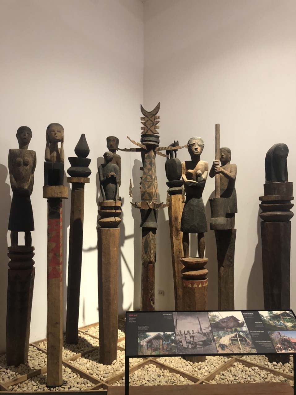
Some of the experts who worked on this project came from France, others from the National Museum of Ethnography in Hanoi.
Buon Dong.
Peaceful village located at the edge of the Serepok river.
Tourism in Buon Don is a trip to explore the forest of the central highlands and experience an elephant ride.
In Buon Dong, King Khunjanob was a respected and beloved leader, who was famous for capturing and training elephants.
Yok Don.
The country’s largest nature reserve, covering 115,000 hectares, is located about 40 kilometers from the center of Buon Ma Thuot.
One is immersed in vast areas of mountains and forests with thousands of wild trees.
Yok Don Park is also home to many types of flora and fauna, many of which are listed as rare and valuable animals to be protected.
Chu Yang Sin.
A park of more than 59,000 hectares, it is located about 60 kilometers from the city of Buon Ma Thuot.
It is also one of the main national parks in Dak Lak province. This place has many high mountains including the Chu Yang Sin mountain of more than 2400 meters.
This place with steep slopes has a temperature slightly lower than the general temperature. There are many types of flora and fauna here and there are more than 44 rare species recorded in the Red Book of Vietnam.
The area contains four beautiful waterfalls: Gia Long, Trinh Nu, Dray Nur (female), and Dray Sap (male) the latter is the most majestic.
According to the Edé legend, these last two waterfalls are the same flow of the Sérépok river which split in two: Two young people of two enemy villages would have thrown themselves into the river’s waves in front of the respective refusals of their parents to unite them… thus forming two very distinct waterfalls.
The lake Lak.
About 56 kilometers from the city of Buon Ma Thuot, it is the largest natural lake in the central highlands, the second largest in Vietnam after Lake Ba Be.
This large lake nestled between the rolling mountains, gives visitors a sense of peace when they go there.
In Buon Jun village, the M’nong ethnic group still preserves traditional values and customs.
Gia Lai
It is a beautiful region!
We go from the plain and crops, mainly rubber trees (in Dac Doa), coffee and tea trees, to the tropical forest with lush vegetation.
Gia Lai province is home to two main ethnic groups, the Gia Rai and the Bahnar, of distinct culture with a unique identity to the red earth of Gia Lai, these ethnic minorities have their own characteristics, which are: tradition, solidarity, democracy, equality, love of people and nature.
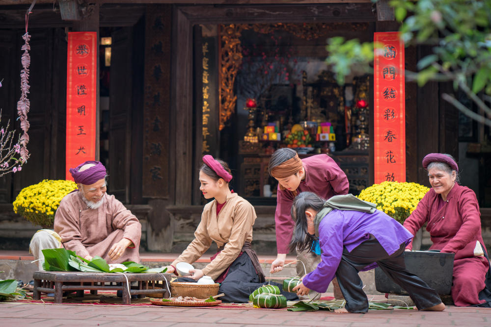
In the festival season, the sound of gongs incites people to go to the jubilant parties sharing the wine jar and folk songs.
Somewhere, the sounds of the T’rung violin, the gong, the Goong zither, the Klong Put, resound.
During the folk festivals of the Gia Rai and Bahnar ethnic minorities, dozens of buffaloes could be sacrificed, a practice that is forbidden today. They are replaced by pigs or chickens.
Hundreds of artifacts of these ethnic groups, of national historical and cultural value, are exhibited at the Gia Lai and Kon Tum Museums.
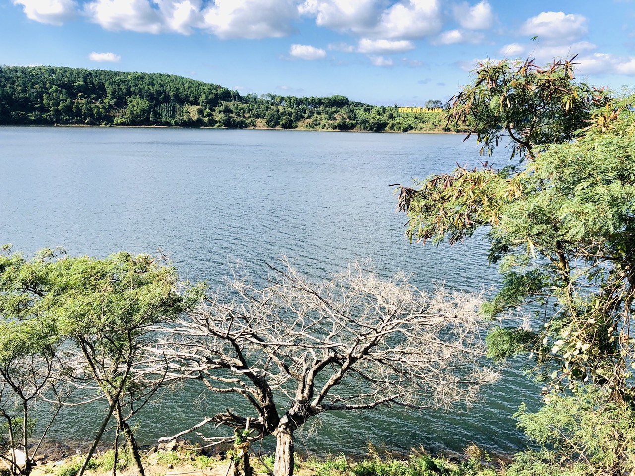
The famous T’Nung (Bien Ho) Lake, one of the most beautiful natural lakes in Gia Lai province, is vast and blue, lying in the arms of mountains and forests.
Bien Ho tea is planted in the middle of large fields watered by the lake which is connected to the Bien Ho water source.
The French “reclaimed” the land in the north of the Pleiku plateau to grow tea
The tea plantation in Bien Ho dates back to 1919 – 1920.
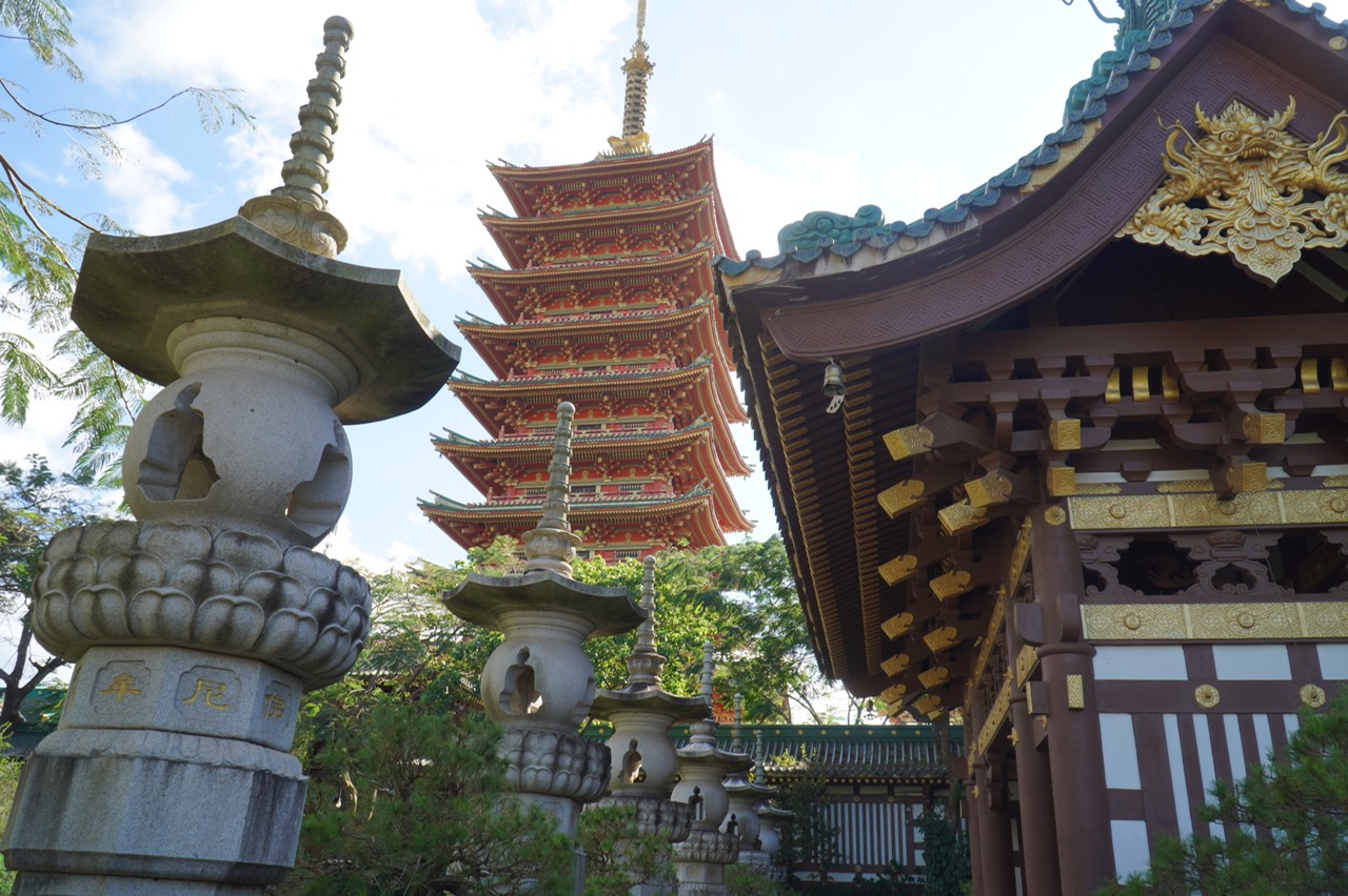
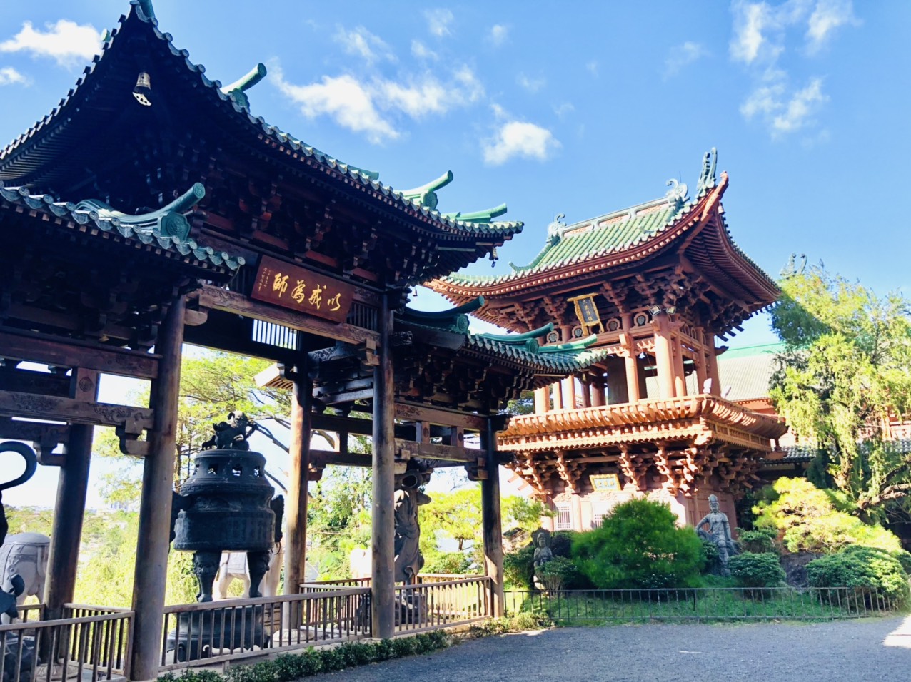
At the foot of the tea fields, the ancient Buu Minh Pagoda with its peaceful beauty, seems to watch over them….
The whole temple is designed with a harmonious combination of wood and steel architecture, in the style of ancient temples in the northern and central regions, mixed with Japanese and Taiwanese temple designs.
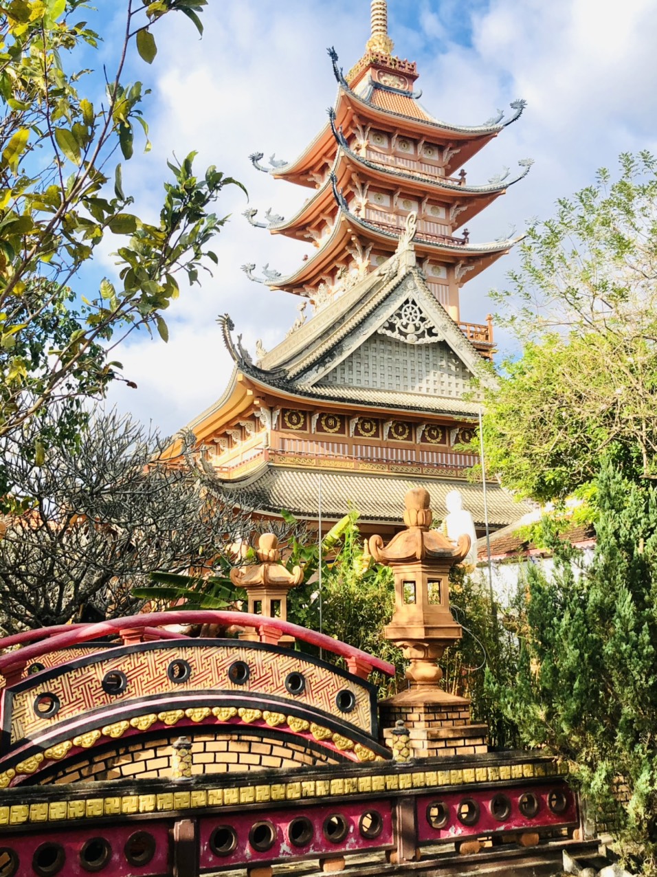
Thanh Minh Pagoda in Pleiku.
Was built in the shape of a circle representing a lotus flower. The highlight is the stupa worshiping Xa Loi, which has become a distinct symbol of the temple.
The 9-story stupa is 72m high, it is a combination of two shades of red and yellow, it is the area of worship of Buddha and relics of Shakyamuni Buddha.
In the district of Chu Se, 40 km south of Pleiku, there are rubber plantations. The rubber forests are productive due to the fertile basaltic red soil and the low temperature winter climate.
About 3 km from the town of Chu Se, in the southeast, the Phu Cuong waterfall is an extremely promising ecotourism area.
Kon Tum
Off the beaten track!
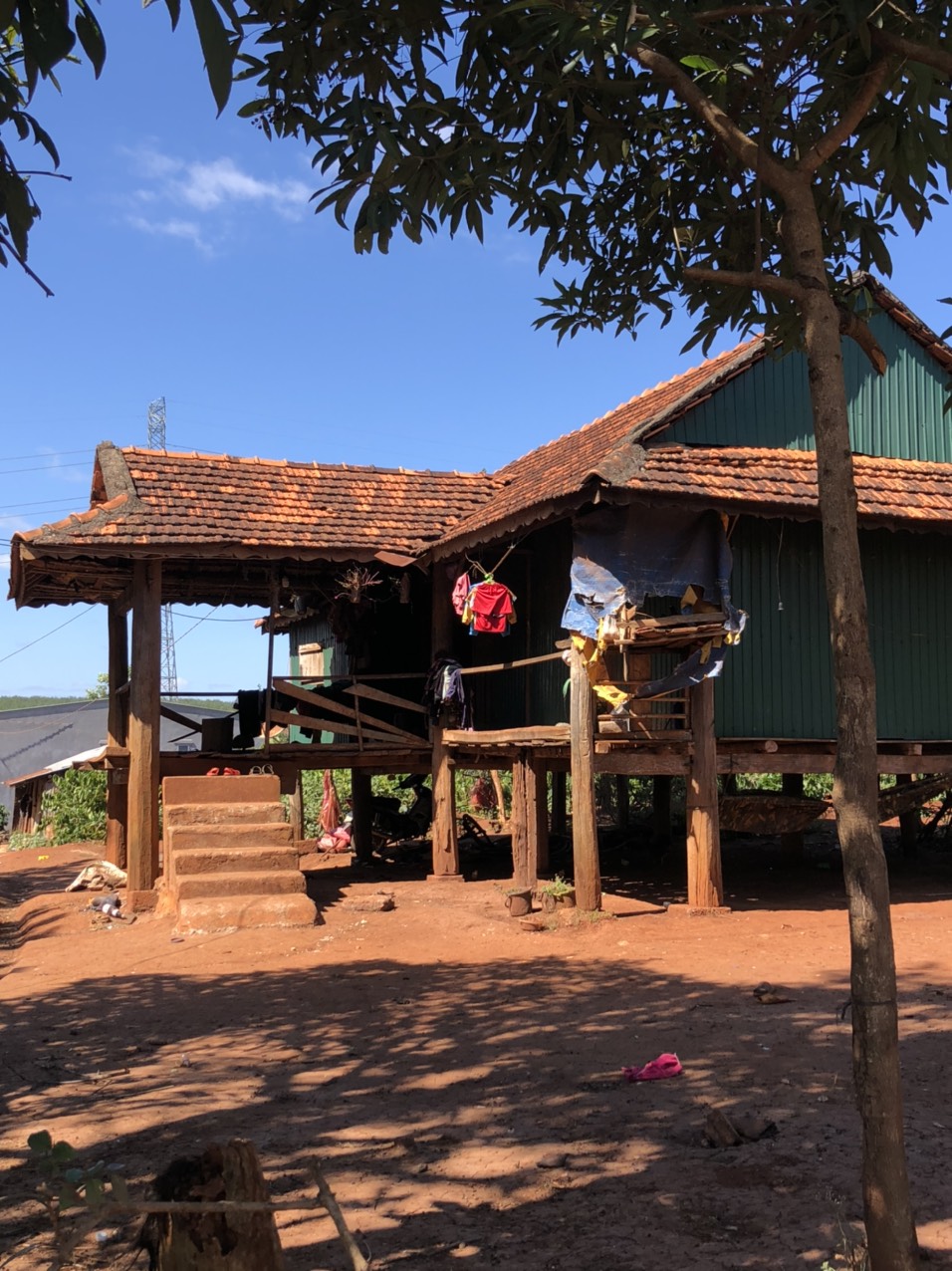
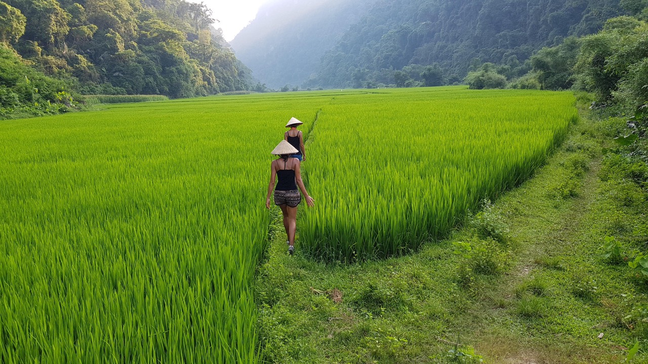
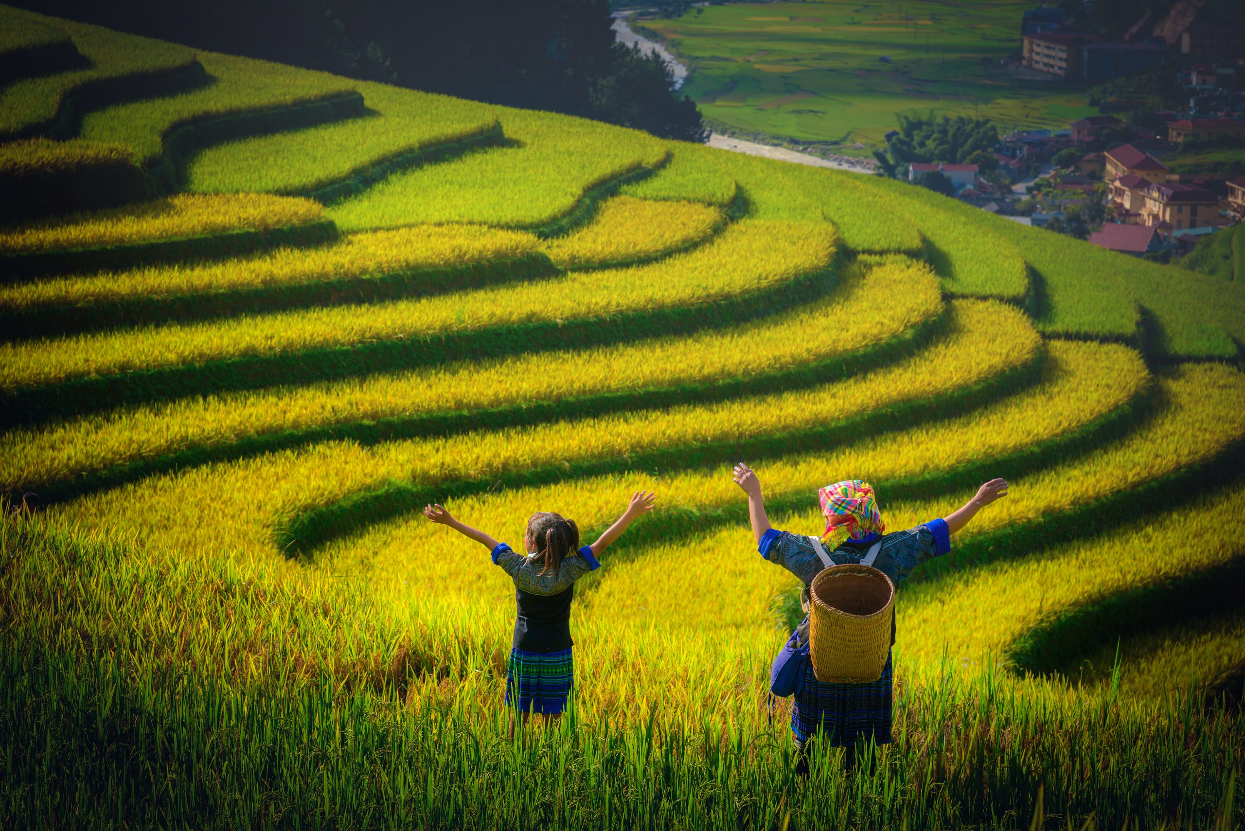
The terraced fields of the highlands, in the north of the province.
In October, everywhere in the valleys of Mang Buk, Mang Den or Muong Hoong, Ngoc Linh… it is the season of ripe rice!
In Lang Moi, the Sedang ethnic group has developed the cultivation of ginseng to improve the difficult daily life in this remote highland region.
On the way back down to Kon Tum.
Coffee is one of the pillars of the economy of Kon Tum province. The temperate climate and fertile basaltic soil are favorable for coffee cultivation mainly in Dak Ha and Dac To districts.
Mang Den located in Kon Plong district has a cool climate, many streams, lakes, waterfalls, this place is known as the second Da Lat of Vietnam.
In Làng Bar Gok (35 km west of Kon Tum) village of Gia Rai ethnic group is located at the foot of Chu Nang Brai mountain of Chu Mom Ray national park with many waterfalls, caves, mountain peaks and forests.
The terrain of the village is flat, the roads are passable, the inhabitants are concerned with preserving and promoting their cultural identity, the whole invites to visit.
In Kon Tum
The communal house (nhà rông) of Kon Klor is the largest communal house of the central highlands of the Bahnar ethnic group, to its right is a magnificent suspension bridge surrounded by sugar cane fields.
Considered the backbone of the village’s soul, the craftsmen have worked extremely well to preserve the ethnic characteristics.
The house is built in the traditional style of wood and bamboo, with elaborate patterns, covered with strawberry grass (Cỏ tranh, bạch mao căn, the stems are used for blankets, the rhizomes in traditional medicine treat fevers).
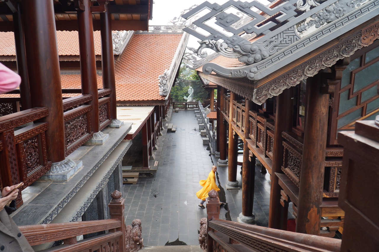
Kon Tum wooden church is a real masterpiece, unique, designed according to the Romanesque architecture, harmoniously combined with the style of the Bahnar people’s stilt houses.
The wooden complex includes: a church, a house displaying ethnic and religious products, a communal house, a guest house and an orphanage.
The Kon Tum prison is a historical relic, built by the French from 1905 to 1917.
This place is visited by many national and international delegations and history lovers.
Nga ba duong dong is the “Indochinese crossroads”, the junction of three countries: Vietnam, Laos, Cambodia. It is at the border post of Bo Y that we leave the country for the one with the thousand elephants (Laos).

You might also like: